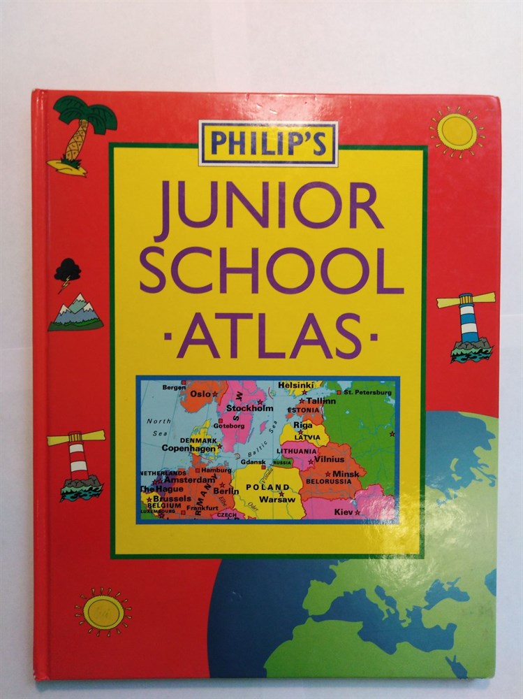
Philip's Junior School Atlas ISBN: 9780540057481
Philip's Junior School Atlas ISBN: 9780540057481


Артикул:
9780540057481
Размеры:
227
x
20
x
286
Вес:
500
гр.
Под заказ
Количество:
Used / ; Condition / : Used - Very Good / Description / : This atlas has been designed to fulfil the requirements of the National Curriculum and is an authoritative first introduction to the world of maps. The meaning of scale, map symbols and how to measure distances are all clearly explained. The UK and Ireland section contains thematic maps covering topics such as mountains and rivers, climate and weather, population and cities, industry and agriculture, and is supported by regional maps for England and Wales, Scotland and Ireland. A series of world thematic and world continental maps completes the atlas. Vegetation, minerals and transport systems are explored around the world, with pollution, climatic hazards and their environmental impact clearly explained and illustrated. Key facts about each continent are included to stimulate a child's interest. The atlas contains a simple letter-figure map index. Text us to get a photo of the book cover to check its condition